Here is a link to the interactive expedition map.

Wildflowers? Someone said this is star lily, but I have no idea.

Our balcony, with one of the chairs, and the table. A lovely spot to enjoy one's morning Cheerios, or to write postcards.....

The view from the balcony. There are no buildings right near the rim at Bryce. The view from the rooms is woods rather than hoodoos.

Out on the rim. (Aquarius Plateau on the horizon.)

We heard the Sunset Point ranger talk. Another interesting presentation, with a bunch of info about hoodoo formation.

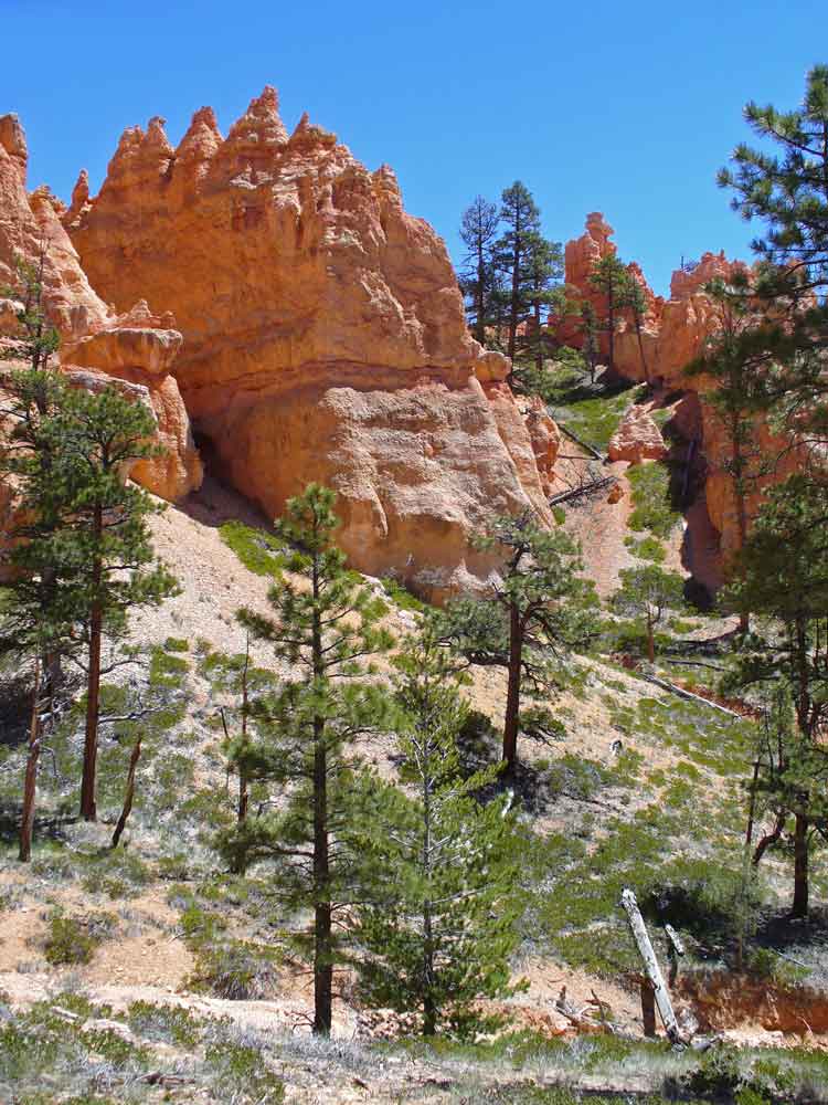
The 23rd was the day we walked down into the canyon. You can see some of the trails as pale nearly-horizontal lines in this picture. I'm sure we walked some of them, but I can't tell you which.....

Our daughter walked the Fairyland loop. We walked down into the "canyon" on part of the Navajo loop (I believe I'm correct about which part we walked down on -- the other part to the left of the one with the green line near it was closed, I think, due to rock fall, maybe? I'm not sure which part of the Queen's Garden trail we came back up on.

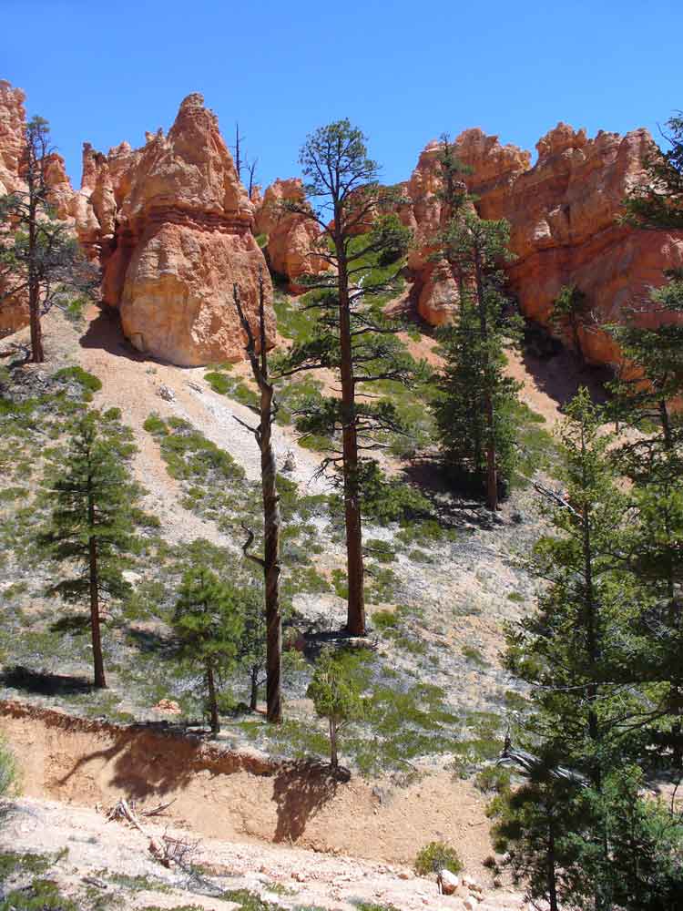
This is the top of the Navajo loop. There were a lot of people doing this. I'm glad it wasn't a crowded time. (!!!) People come and go on all of the trails, so there needs to be room for two-way traffic, and very little of it is fenced.


No longer looking down on all of these features.

Zoomed in.

I didn't know until I got this on "the big screen," but that's Aquarius Plateau again, through the fish-shaped opening. Or is that an arrowhead?


Same hoodoo as the one in the middle, above, after we'd walked farther down.


That same hoodoo again, from two more different places.


It's rather hard to take pics of the hoodoos when you're standing close to them.... They are large. Look at the bottom left corner of the next image for people, to get an idea of the scale.

There are also some people farther down, between the trunks of the two right-most trees.... We'll be down there in a while.
You can look up and get pics of the tops of the hoodoos, but that doesn't give an idea of how far down they go........

I think this is creeping barberry, also know as mahonia repens, or berberis repens.


Looking up at trees. We are getting near the "canyon" floor.


This "cave" wasn't very deep, nor very big. All of that rocky stuff looks like it's ready to fall if touched.

There wasn't much shade. It was notably warmer down at the bottom than on the rim. We took advantage of shade to rest for a moment and to have a drink (we carried water bottles). You can see the trail we'll follow from left to right at the bottom of the next image.


From left to right, lower left corner, you can see where water goes, when there is any water to go.
The "canyon" floor.

Another tree made into a bench, and one of the natives.

Here's a link to the next post about the Grand Canyon trip.
.


2 comments:
I wonder which one Rick did or if he made it up as we went along. We were there in December a few years ago and it was pretty nippy. The beauty of this spot never, ever ceases to amaze me. There is much to say (good) about all our National Parks but this one strikes me as the most remarkable. (Of the few I've seen!)
There are lots of places on the floor of the "canyon" where you can shift from one trail to another, so it would certainly be possible to make up one's own hike. I bet there were a lot fewer people there in December than in May. Fewer people on those trails would be good by me -- no need to be on the actual edge to pass people going the other way!
We were in three National Parks on this trip -- Bryce, Zion, and Grand Canyon, and I think they may have been my first three. So amazing -- we must protect these astonishing landscapes. Once they have been ravaged, they are gone forever.....
Post a Comment