Here is a link to the interactive expedition map.
Driving up into Kolob Canyons, in Zion National Park. I believe this is looking south.

I love these info boards that tell me what I'm looking at. Not so easy to read in this image, alas.
At left, Nagunt Mesa. Center, Timber Top Mountain. At right, Shauntavi Butte.

Lots of flowers here and there....


South, again, from a different view point. I think the point sticking up in front of the rest of the formation at left is Shauntavi Butte.

I believe the formation at left is Nagunt Mesa, and the one at right is Timber Top Mountain.

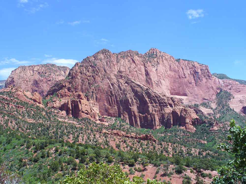
Nagunt Mesa.

At the end point of the drive into Kolob Canyons, there is a parking lot with picnic tables. This was our view as we ate lunch. I think the highest rock in this image is Beatty Point.
The clouds!

Getting ready for lunch, looking at Beatty Point.

This is the spoon that lives in my fanny pack, in case I should suddenly need to eat yogurt. I bought it in a euro store (like a dollar store, only in Europe) in Venice, Italy. That's our trusty cooler behind it.

Lunch.


You can take a hike out to a view point.


Juniper.


I think the pointy point in the center is Beatty Point. Nagunt Mesa at right.

Nagunt Mesa, then Timber Top at right.

I am not sure, but I think the formation sticking out toward us, at left, is Shauntavi Butte.

Here is a link to the next post about the Grand Canyon trip.
.


No comments:
Post a Comment