.
Pyramid Lake, at the top. The Truckee River starts at Lake Tahoe, goes through Reno, and ends at Pyramid Lake.
A few irrigated dots on a dry, dry, dry, dry landscape.
A tiny bit of visible moisture, in a dry, dry, dry, dry landscape.
A few more irrigated dots.
I saw several instances of whatever you call this. Strip mines? Pit mines?
We are a cancer, eating away at the planet, and no mistake.
We can't even see the bottom of that dark pit. How deep must it be? [shaking head]
This is the north end of the Great Salt Lake. Well, ok, I'm pretty sure this is where it would be if it were *really* full, but it's not that full, and I suspect this is Salt rather than Lake...........
Here's some actual visible water.
In the Extreme Microbes class
I took, we learned about organisms that can live in extreme
conditions. "Really salty" is one of those extreme conditions. The
halophiles (salt-loving bacteria) who live here are pink, and when there are
enough of them, the water looks pink, too.
Flying east, it gets dark fast.
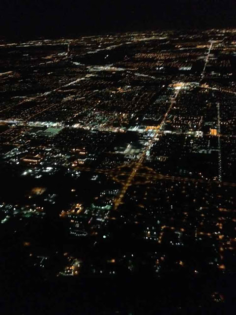
Chicagoland.
All that gold, under the wing, is Chicago proper.
The perturbations on the horizon in this next shot are downtown Chicago (with the darkness of Lake Michigan behind).
On the ground at Midway, waiting for our flight to Detroit. Getting ready to partake of the Opal apple I bought in the food co-op in Reno. It was nice. I would eat these, if we could get them in Ann Arbor.
Goodbye, Chicago!
.
Subscribe to:
Post Comments (Atom)











No comments:
Post a Comment