Here is a link to the interactive expedition map.
Our daughter hiked a section of the Bryce "Canyon" rim on May 21. After we dropped her at Fairyland Point, we stopped inside the park at the visitors' center, and then drove down to the end of the road through the park. We visited almost all of the view points on the way back. (Almost all of the view points are on the right when you're driving north toward the park exit, so it makes sense to visit them on the way out, rather than on the way in.)
In the visitors' center. This is the most elaborate "please make a donation" box I've ever seen. You can put your money in any of a LOT of boxes. I bet they had one for every state, and they had one for many countries. I left a $20 bill in Michigan's box, hoping to raise the ante a little. Come on, people, cough it up..........
There are usually rangers in the visitors' center to answer questions and help people plan hikes. To remind people to take it easy because of the altitude (!!!), and to stay on the path, and to carry and drink plenty of water......
There's a schedule of ranger talks. I have enjoyed every ranger talk I've ever heard, from the WWII Memorial in Washington, DC, to the geology talks at Bryce Canyon National Park. Both of these geology talks were interesting and presented well.
There are usually nature displays and information in the visitor centers, and there are always postcards and other things for sale. I saw more hats, sunglasses, water bottles, and compasses for sale than I remember seeing in other places......
We left the visitors' center and drove down to Rainbow Point, which is the end of the road into Bryce Canyon National Park. It's about 20 miles into the park, if I remember correctly.
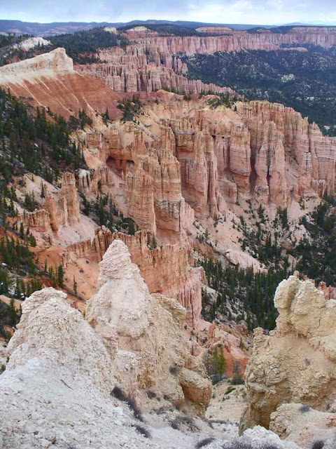
A constant refrain for me in this part of the country was "it's so BIG." It is hard to take it all in, even when you are standing there looking at it.....
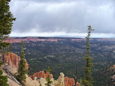
From some places, you can see far into the distance.....
The clouds on the 21st made the sky interesting.
Zoomed more than the above. Note snow-capped peaks on the horizon.
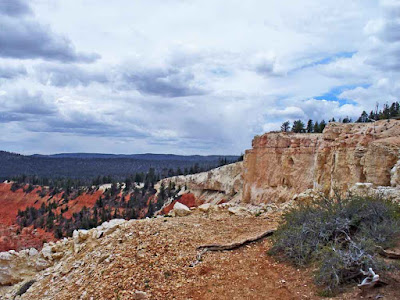
Another interesting landscape just below the horizon, in this next one.
We saw lots of dead trees on this trip. LOTS. Some seemed to have been burned, and others had clearly been infested with bugs (though whether that contributed to their demise I do not know). Sometimes trees fall down because the earth moves out from under their "feet." Sometimes lightning hits them. Lots of fallen trees get cut, to clear trails, or to make sure that if they are only partly fallen they don't hurt someone on the rest of their way down.
The next one is a tighter crop of the above -- you can see another view point from this one.
Looking at something nearby, for a change. I think this is a bristle-cone pine.
Not a very big tree. I wonder how old it is.
Cannibal tree? Or maybe that second trunk was part of itself? I don't think I'd ever seen this before....
It's a harsh environment. Dry. Windy. Trees get twisted.
Lots of times we'd see an apparently bark-less tree, that clearly was still alive (live leaves on some part of the tree). And there were baby trees and young trees.
Here's a link to the next post in the Grand Canyon expedition.
.


No comments:
Post a Comment